Cities and towns as puzzle pieces
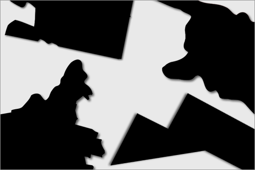
Here's something to burn off the rest of your Friday afternoon:
Can you guess Capital Region cities or towns by their geographic shape?
A handful are after the jump.
Answers are under each shape. Highlight the whited-out text between | like this |.
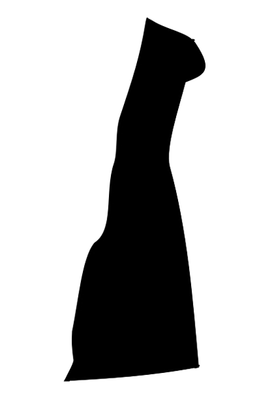
|_______ Troy _______|
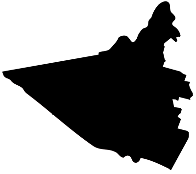
|______ Colonie _____|

|______ Albany ______|

|_____ Ballston _____|
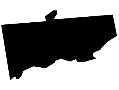
|_ Saratoga Springs _|

|_ North Greenbush __|

|____ Princetown ____|
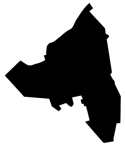
|____ Schenectady ___|
Shapes adapted from files on Wikimedia: Albany County | Rensselaer County | Saratoga County | Schenectady County.
Say Something!
We'd really like you to take part in the conversation here at All Over Albany. But we do have a few rules here. Don't worry, they're easy. The first: be kind. The second: treat everyone else with the same respect you'd like to see in return. Cool? Great, post away. Comments are moderated so it might take a little while for your comment to show up. Thanks for being patient.
Comments
This makes my brain hurt, not a good friday exercise for me
... said Joe on Nov 18, 2011 at 3:16 PM | link
I got the first three right off. Good for me.
... said Ellen on Nov 18, 2011 at 5:07 PM | link
wow map of schenectady kinda resembles new york state map!
... said chica on Nov 18, 2011 at 9:34 PM | link
Actually I think Schenectady looks like a scary pig beast attacking. And Albany looks like WC Fields with a tall hat. Is this like cloud watching?
... said Bob B on Nov 19, 2011 at 1:34 PM | link