Old routes and faded hamlets

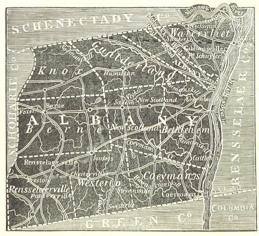
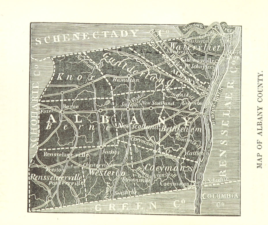
Today's moment of historical cartography: We can across this map the other day -- it's of Albany County, published in 1850 as part of the Joel Munsell's The Annals of Albany.
It was interesting to trace the old roads, and spot the names of hamlets that have since faded away. But, really, we just liked the way the map looked. Here's a larger, uncropped version.
We came across the map via The British Library's online effort to georeference thousands of old maps. Here's the map above layered onto a modern a map.
image from The Annals of Albany (1850) via The British Museum
Hi there. Comments have been closed for this item. Still have something to say? Contact us.

Comments
I'd be interested in learning more about Albany's annexation of such large tracts of Bethlehem.
... said Rob on Sep 17, 2014 at 11:12 AM | link