Albany, Troy, and Hudson in high contrast

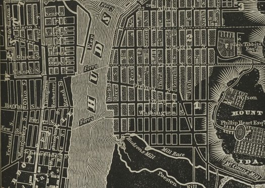
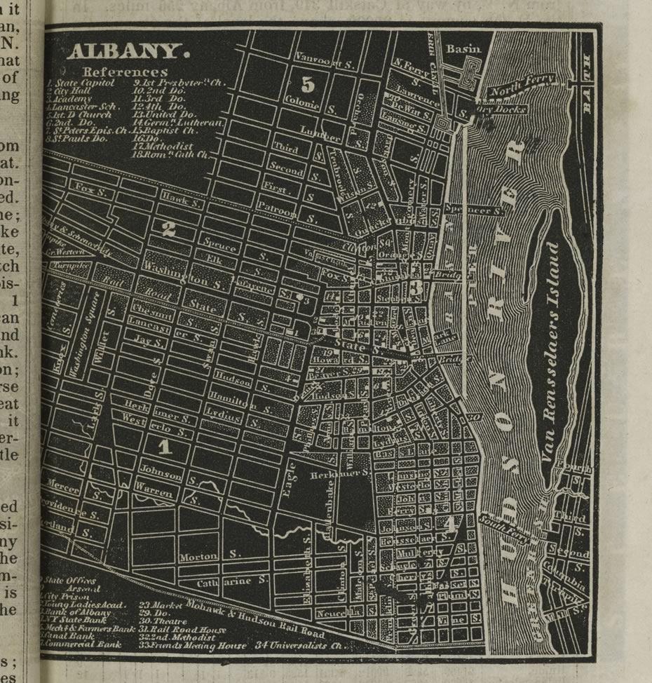
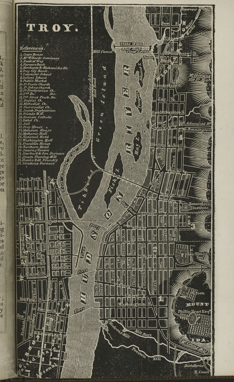
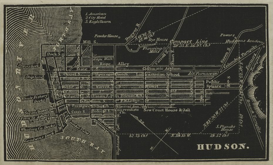
Check out this beautiful old atlas of New York State, originally published in 1838. It was the creation of the cartographer David H. Burr. And it's available online thanks to the digital collection of the New York Public Library.
There's something about the high-contrast black-and-white color scheme and the way various features -- like the Hudson River -- are rendered that we really like.
The atlas includes maps for counties around the states. But the parts that were most interesting to us were the old city maps. We pulled a few -- for Albany, Troy, and Hudson -- and there are after the jump in large format, along with a few quick notes.
The maps are above -- click or scroll all the way up.
Say Something!
We'd really like you to take part in the conversation here at All Over Albany. But we do have a few rules here. Don't worry, they're easy. The first: be kind. The second: treat everyone else with the same respect you'd like to see in return. Cool? Great, post away. Comments are moderated so it might take a little while for your comment to show up. Thanks for being patient.


Comments
That 'railroad house' at State and Eagle would have been what was later called the Van Vechten Building. A few tidbits about it here:
https://kamcgop.wordpress.com/2015/02/23/the-van-vechten-building-119-121-state-street/
... said Kevin McGrath on Jan 7, 2016 at 9:20 PM | link
If you look at the Albany city map on page 3, there appears to be a railroad running down what is now Third Ave. Does anyone know anything about this?
... said travis on Jan 10, 2016 at 1:33 PM | link