Stories from streets that no longer exist

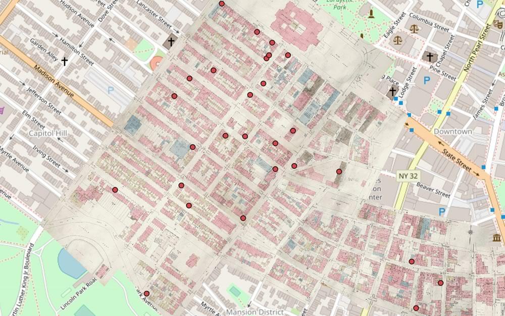
A screengrab from the map.
Check it out: The 98 Acres in Albany project now has a clickable map of its stories from the area replaced by the Empire State Plaza. Here's a little bit of background on the map effort.
One of the things we really like this map is the way it overlays the old pre-ESP street map on top of the modern map. Having the old map there does a few things: 1) It makes the geographic context for a story more clear, and 2) it highlights how many streets/buildings and just overall space that was taken up by the ESP and the South Mall Expressway.
The new clickable map is part of a work-in-progress, stand-alone website for the project. That site also includes photo galleries, such as this collection of pre-demolition streetscapes.
One photo that immediately caught our eye: This view looking up the old South Hawk Street toward what's now the ESP side of the Capitol. (South Hawk is mostly gone now.)
Earlier:
+ 98 Acres in Albany
+ Who lived in the neighborhood knocked down for the Empire State Plaza?
+ What would Albany be like today if the Empire State Plaza had not been built?
Say Something!
We'd really like you to take part in the conversation here at All Over Albany. But we do have a few rules here. Don't worry, they're easy. The first: be kind. The second: treat everyone else with the same respect you'd like to see in return. Cool? Great, post away. Comments are moderated so it might take a little while for your comment to show up. Thanks for being patient.
... said KGB about Drawing: What's something that brought you joy this year?