Historic floods in Troy
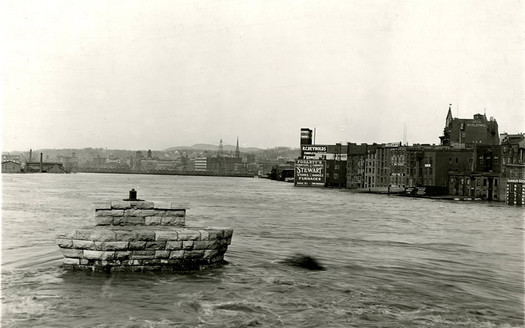
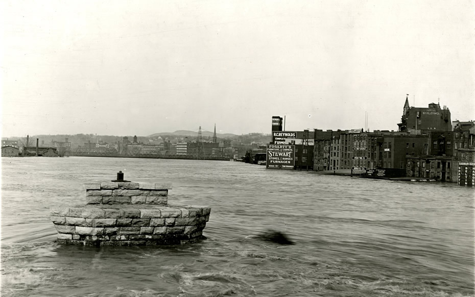
The 1913 flood in Troy.
Flooding from Irene was bad in parts of the Capital Region. Really bad. But in Troy and Albany, the flooding has been worse -- though not by a lot.
The Hudson River reached crested at 27.05 feet at Troy this past Monday afternoon, which ranks as the fourth highest flood on record in the Collar City.
Here's the story behind the worst.
Scroll up for large format photos of past flooding.
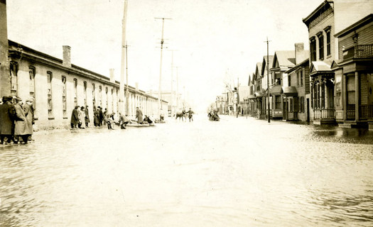
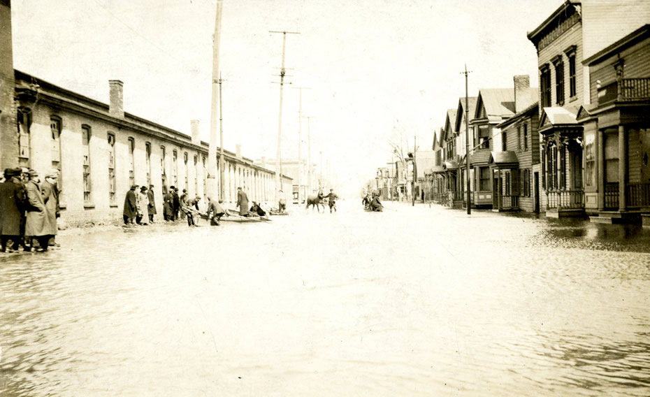
1st Street North of Washington during the 1913 flood in Troy.
The worst flood in the Troy was on March 28, 1913 -- and it wasn't due to a single storm, but long days of rain and a thaw. According to Stacy Draper of the Rensselaer County Historical Society, thaws have caused most of the flooding in Troy's history. The river reached 29.7 feet in 1913.
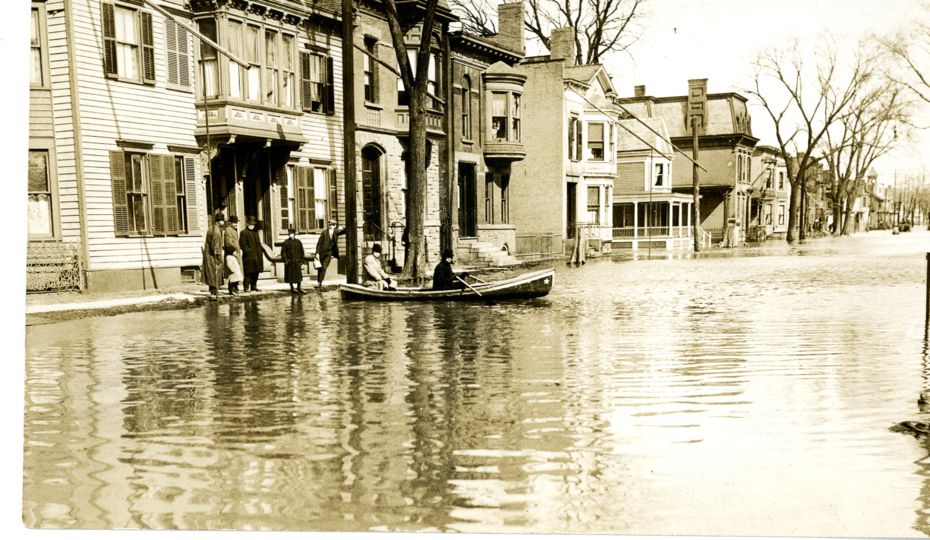
"In 1913 water was more than two and a half feet higher than [this past week]" says Draper, "but I've seen pictures of people in boats on 3rd and 4th avenue from 1913, and this time the water only got to 1st Avenue and parts of 2nd." It depends on things like where debris blocks the water.
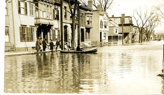 2nd Ave below 126th St. in Lansingburgh
Draper and Kathy Sheehan of the RCHS point out that flooding caused more serious trouble for Trojans back in 1913. Since electricity was still relatively new back then, and lots of people were still using gas, a number of fires broke out during the flood.
Rebuilding and getting back to normal were tougher in 1913 as well. "Back then there were a lot more factories along the river," says Draper. "That would have put a number of people out of work for a while." And with the lack of sewage treatment back in 1913 there were typhoid epidemics afterwards.
According to America's Greatest Flood and Tornado Calamity the situation in Troy was bleak, but there were no immediate fatalities:
So far as was then known, there were no drownings or other fatalities, but the fire loss was heavy, the buildings in most cases being a total loss. Six, eight and in some cases ten feet of water prevented the firemen doing anything at all. Hundreds of people, particularly in the South End, were made homeless and all they had in the world was in many cases destroyed. . . National guardsmen patrolled the streets day and night. The Troy Gas Company was able to furnish light Friday night, which made conditions more bearable. There were, of course, no trolley cars and no electric light, all power plants in the Capital City district, as well as Mechanicsville and Spier Falls, being under water. The Standard Press of Troy issued flood editions 8 x 11 inches on several days, and was the only newspaper printed in Troy during the flood.
Of course, it wasn't just Troy that was affected in 1913, but large portions of Eastern New York State:
Loss of life as the result of floods in New York state was reported from Glens Falls March 27. A bridge there was swept away and two persons are said to have been drowned. In the eastern end of the state the Mohawk and Hudson valleys experienced the worst flood in years. In Albany, power plants were put out of service, street car traffic was practically suspended and schools and factories closed. The south end of the city was under water and the police rescued residents there in boats.
Collar City major floods (before Irene)
1. March 28, 1913: 29.7 feet
2. March 19, 1936: 29.48 feet
3. September 22, 1938: 27.10 feet -- the result of the New England Hurricane of 1938.
4. December 31, 1948: 27.05 ft
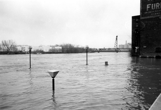
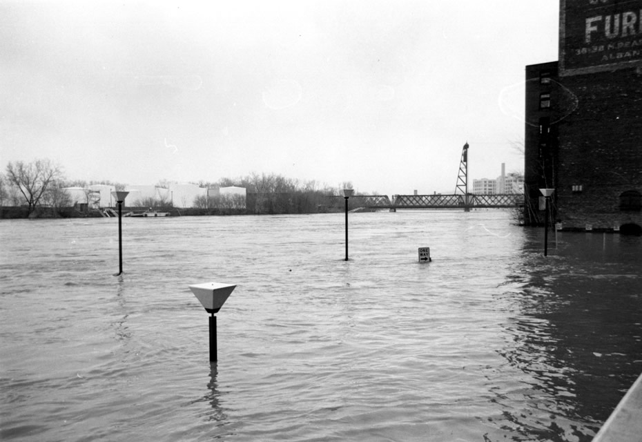
5. March 14, 1977: 26.53 ft -- the flood (photo above) caused the Green Island Bridge to collapse.
By the way: The highest flood on record in Albany was 21.71 feet in February 1857, the result of ice jams. The post-Irene Hudson flooding crested at at 15.4 feet at Albany.
Here's a list of other major floods in this area.
(Thanks, Carl)
photos courtesy of the Collection of the Rensselaer County Historical Society, Troy, NY
Hi there. Comments have been closed for this item. Still have something to say? Contact us.
Comments
The picture labeled as "Washington Street west of First Street" is actually in Green Island looking east at Hamilton and George Streets. The photo was taken by my grandfather, Frank J. Legnard and originally posted on the Troy Irish Genealogy Website.
... said Marilyn Mahoney on Sep 3, 2011 at 12:13 AM | link
The Hudson River flooded regularly prior to the construction of the Sacandaga Reservoir in the 1920s. The main reason the reservoir was created was to control the flooding that resulted from the spring thaw, known as a freshet.
... said Ellen on Sep 3, 2011 at 7:28 PM | link
I remember the 1948 flood in south Troy. The water rose half way between 2nd and 4th streets, 4th St being at a higher elevation. I remember boats on 2nd St removing residents who needed help. There was also a WW II veteran with a jeep or truck with a snorkel driving up and down the street helping out. Fortunately we had moved from 468 2nd St. to 511 4th St a year earlier or we would have lost belongings stored in the cellar.
... said Edward Robinson on Nov 29, 2012 at 3:56 PM | link